Navigation
| High Temp |
| 35.0° C |
| London / Heathrow Airport |
| Low Temp |
| 4.3° C |
| Aonach Mor |
| Precipitation |
| 14.0 mm |
| Drumalbin |
| Wind Gust |
| 58.4 mph |
| Aonach Mor |
![]()
Site Updates
![]()
![]()
![]()
![]()


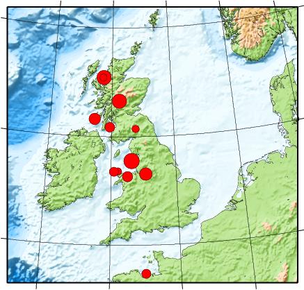
UK Earthquakes and Seismic Activity
The BGS Earthquake Seismology Team is the UK's national earthquake monitoring agency. They operate a network of sensors across the UK to monitor both British and overseas earthquakes, and provide objective information to government, industry and public.
They issue bulletins of earthquake activity and maintain an archive of seismological information and records. They use the data we collect to investigate the nature and distribution of earthquake activity and their driving forces, to improve understanding of earthquake hazard.
They also use the seismic waves from earthquakes to image the interior of the Earth and develop models of Earth structure.
| Earthquakes from around the British Isles recorded in the last 50 days | |||||||||
|---|---|---|---|---|---|---|---|---|---|
| Updated: 30/07/2026 00:59 | |||||||||
| Epicenter Near | Magnitude | Distance from Southampton | Local Time | Link to Map | |||||
| IRISH SEA | 0.7 | 237 mi (381 km) | 28/07/2026 14:08 | Map | |||||
| SPEAN BRIDGE,HIGHLAND | 2.5 | 436 mi (702 km) | 28/07/2026 04:09 | Map | |||||
| CARRON,FALKIRK | 1.0 | 367 mi (591 km) | 20/07/2026 18:42 | Map | |||||
| WARBSTOW,CORNWALL | 1.4 | 139 mi (224 km) | 20/07/2026 07:58 | Map | |||||
| LOCHCARRON,HIGHLAND | 2.3 | 480 mi (773 km) | 17/07/2026 01:38 | Map | |||||
| SOUTHERN NORTH SEA | 3.0 | 242 mi (390 km) | 14/07/2026 04:39 | Map | |||||
| PUBIL,PERTH & KINROSS | 0.7 | 409 mi (659 km) | 12/07/2026 08:22 | Map | |||||
| BARRISDALE,HIGHLAND | 0.5 | 458 mi (738 km) | 11/07/2026 11:37 | Map | |||||
| MULL,ARGYLL & BUTE | 1.5 | 423 mi (681 km) | 11/07/2026 05:46 | Map | |||||
| TYNDRUM,STIRLING | 0.6 | 408 mi (656 km) | 08/07/2026 09:49 | Map | |||||
| SILVERDALE,LANCASHIRE | 0.5 | 232 mi (374 km) | 08/07/2026 06:45 | Map | |||||
| IRISH SEA | 0.3 | 225 mi (363 km) | 06/07/2026 23:52 | Map | |||||
| MULL,ARGYLL & BUTE | 1.0 | 430 mi (691 km) | 05/07/2026 02:53 | Map | |||||
| GLEN CARNACH,HIGHLAND | 1.1 | 451 mi (725 km) | 04/07/2026 16:41 | Map | |||||
| SHEILDAIG,HIGHLAND | 1.0 | 500 mi (804 km) | 03/07/2026 15:39 | Map | |||||
| COLD WESTON,SALOP | 1.6 | 119 mi (191 km) | 01/07/2026 01:52 | Map | |||||
| NORTHERN NORTH SEA | 3.1 | 660 mi (1062 km) | 30/06/2026 20:23 | Map | |||||
| HOLYWELL,CORNWALL | 0.5 | 169 mi (271 km) | 30/06/2026 05:14 | Map | |||||
| ELSFIELD,OXFORDSHIRE | 1.6 | 61 mi (99 km) | 29/06/2026 13:45 | Map | |||||
| FARLOW,SHROPSHIRE | 0.8 | 116 mi (187 km) | 27/06/2026 10:09 | Map | |||||
| LLANBEDR,POWYS | 1.5 | 103 mi (165 km) | 24/06/2026 17:43 | Map | |||||
| MORENISH,PERTH/KINROSS | 0.5 | 405 mi (652 km) | 24/06/2026 16:20 | Map | |||||
| NORTH MUSKHAM,NOTTS | 0.9 | 155 mi (250 km) | 24/06/2026 01:07 | Map | |||||
| PUBIL,PERTH & KINROSS | 0.5 | 409 mi (658 km) | 23/06/2026 01:22 | Map | |||||
| SILVERDALE,LANCASHIRE | 0.7 | 233 mi (376 km) | 22/06/2026 01:38 | Map | |||||
| KINLOCH HOURN,HIGHLAND | 0.7 | 457 mi (736 km) | 21/06/2026 06:08 | Map | |||||
| PUBIL,PERTH & KINROSS | 1.6 | 410 mi (660 km) | 20/06/2026 14:34 | Map | |||||
| CROESOR,GWYNEDD | 0.6 | 184 mi (296 km) | 17/06/2026 22:16 | Map | |||||
| KILCHOAN,ARGYLL & BUTE | 0.8 | 409 mi (659 km) | 17/06/2026 10:36 | Map | |||||
| SILVERDALE,LANCASHIRE | 0.5 | 233 mi (375 km) | 15/06/2026 22:11 | Map | |||||
| PUBIL,PERTH & KINROSS | 0.9 | 409 mi (659 km) | 11/06/2026 05:17 | Map | |||||
| MINTON,SHROPSHIRE | 0.4 | 127 mi (205 km) | 11/06/2026 00:54 | Map | |||||
| TANWORTH,WARWICKSHIRE | 1.5 | 100 mi (162 km) | 10/06/2026 06:43 | Map | |||||
| SILVERDALE,LANCASHIRE | 0.7 | 234 mi (376 km) | 07/06/2026 20:31 | Map | |||||
| SILVERDALE,LANCASHIRE | 1.1 | 233 mi (376 km) | 07/06/2026 18:13 | Map | |||||
| SILVERDALE,LANCASHIRE | 2.2 | 234 mi (376 km) | 06/06/2026 22:35 | Map | |||||
| GARRIGILL,CUMBRIA | 1.2 | 268 mi (431 km) | 05/06/2026 09:29 | Map | |||||
| LOCHBROOM,HIGHLAND | 1.0 | 497 mi (800 km) | 05/06/2026 06:14 | Map | |||||
| ATHERTON,GTR MANCHESTER | 1.4 | 188 mi (302 km) | 31/05/2026 22:55 | Map | |||||
39 UK Earthquakes in the last 50 days.
British Geological Survey © NERC.
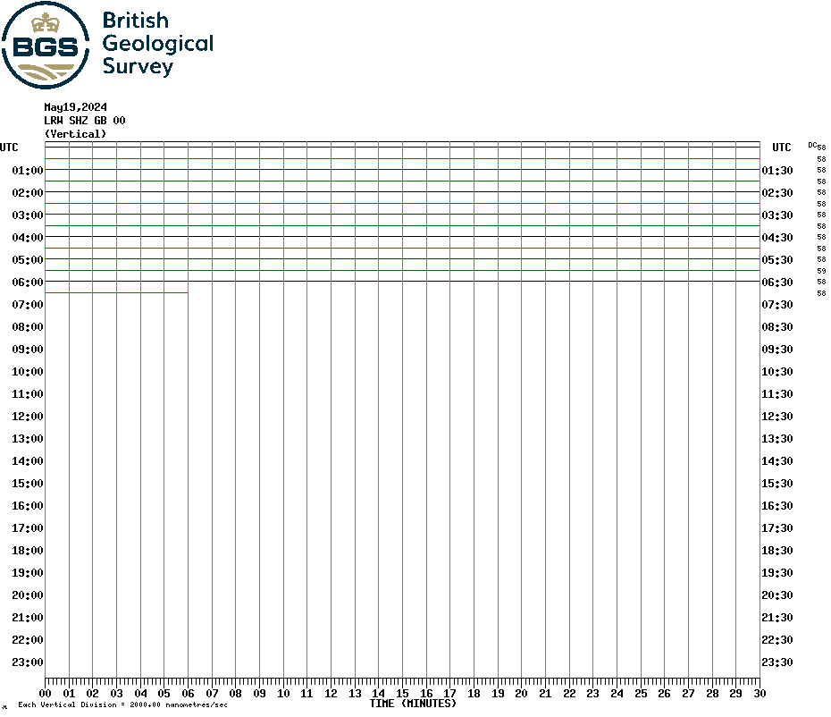
Today's Realtime Helicorder Output