








European Infrared Satellite Image
Live • cached on our own server, refreshed every 15 minutes • Central Europe
Infrared (IR) satellite imagery shows clouds by temperature rather than reflected light. Weather satellites carrying scanning radiometers produce these thermal images, letting a trained eye judge cloud height and type, work out land and sea surface temperatures, and spot ocean surface features — all day and all night, since it doesn't rely on sunlight. The brighter (whiter) the cloud, the higher and colder it is, which usually means more significant weather. Sourced from EUMETSAT's newest satellite, Meteosat Third Generation (MTG).
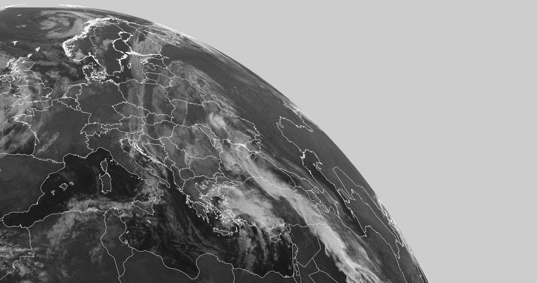
Fetched: 00:44:22 UTC, Thursday 29 October 2026 (source didn't report its own image time)
Source: EUMETSAT Meteosat Third Generation (MTG) • Infrared 10.5, Central/Eastern Europe
See also: SAT24 UK & Europe Satellite (background on how weather satellites work) • Day & Night Image (Western Europe) • Worldwide Infrared Loop