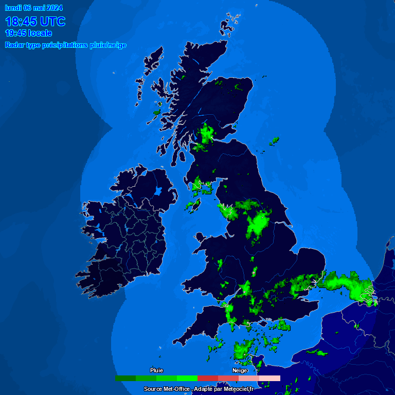
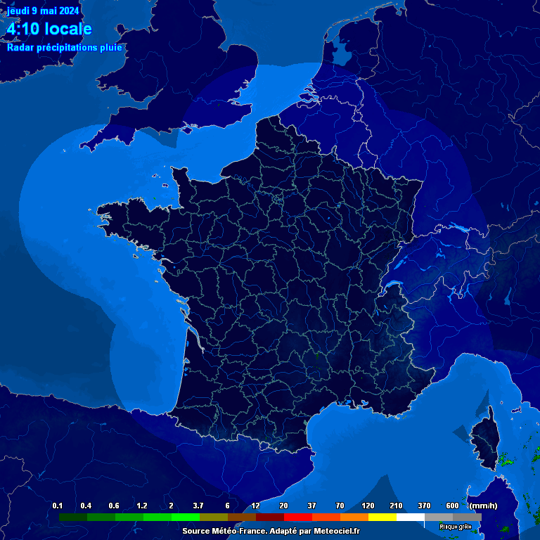
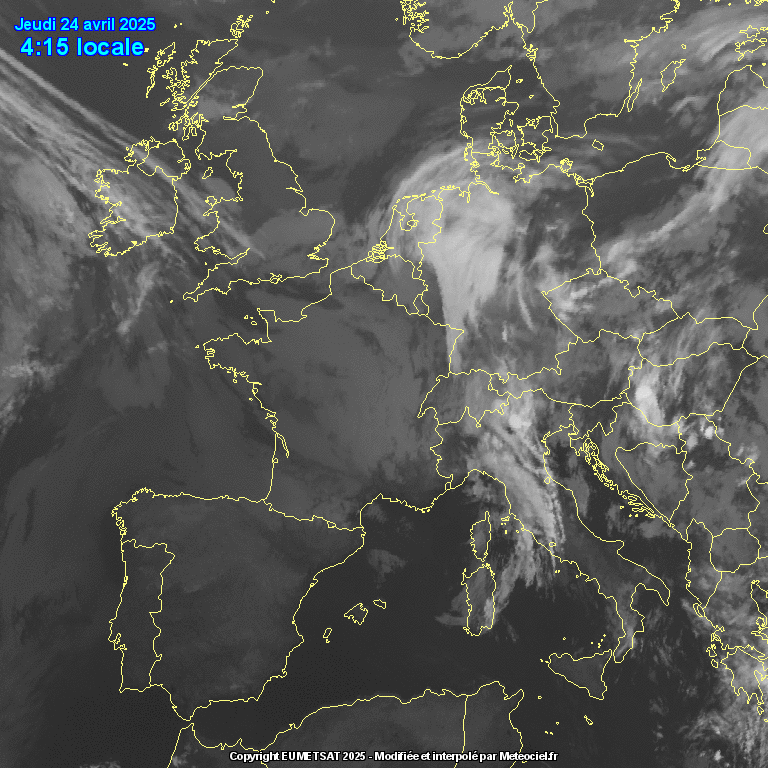
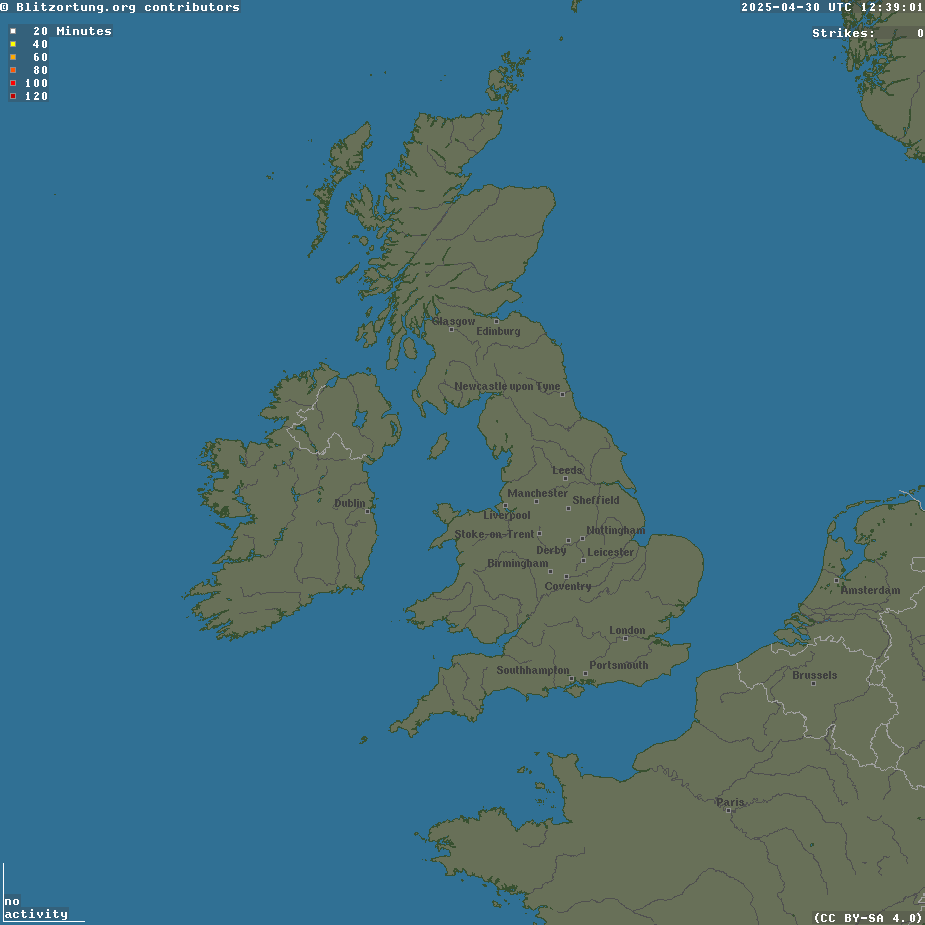
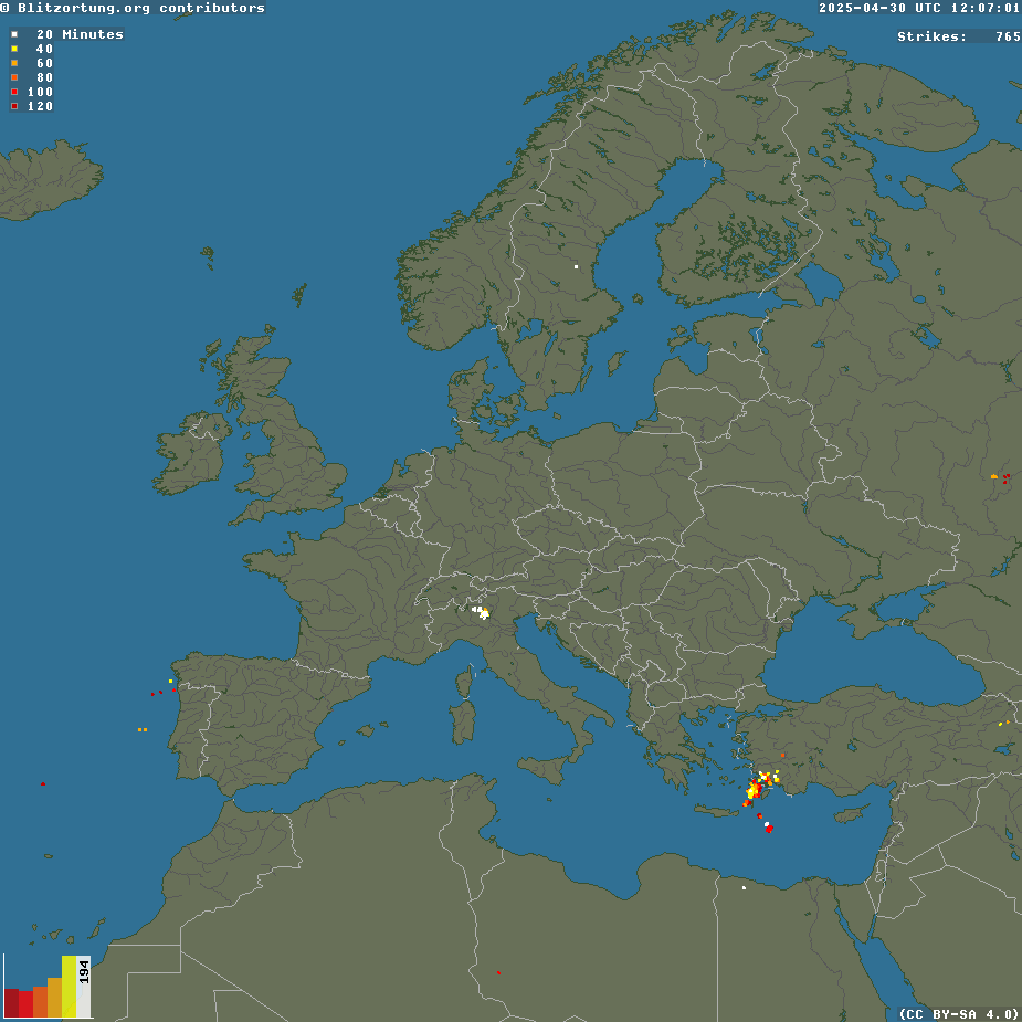
United Kingdom and Europe Rainfall Radar ChartsThe three images below are Radar images of the current precipitation. The 1st image is of the UK and Europe and shows the current rainfall, snow, cloud cover and lightning. |
Rainfall, Snow, Cloud Cover and Lightning Maps
Radar detects objects by transmitting a pulse of radio waves and looking for signals reflected back from the object. By measuring the time taken for the pulse to reach the object and travel back to the radar, the distance can be calculated. By rotating the antenna and sending out a stream of pulses, the radar can build up a picture of objects. Rain, snow and hail reflect radar waves. Using radar we can get a picture of the extent and intensity - the greater the intensity of rainfall, the stronger the signal returned. At longer ranges, typically over 100km, the accuracy falls off due to the curvature of the Earth. Sometimes the radar will not 'see' rain at long ranges or report rain at high altitudes that does not reach the ground. Radars also ‘see’ the ground and while measures are taken to reduce echoes returned from the ground, some appear on the images. Frequently echoes can be seen from Snowdonia, the Pennines, the Lake District and other areas of high ground even when no rainfall is actually present. |